
Hiking in the Kogelberg Biosphere

Your guide to trails from coast to mountains
Last updated: November 2026
Looking for a short coastal walk, a fynbos mountain trail or a full-day hiking adventure? Explore hiking routes across the Kogelberg Biosphere, from Gordon’s Bay and Rooi Els to Pringle Bay, Betty’s Bay, Kleinmond, Elgin and Grabouw.
Here are some trails to test, grouped according to where you’ll start.
A note before you go: Some of the routes below are formal trails managed by CapeNature, the South African National Biodiversity Institute (SANBI) or the City of Cape Town, while others are community-mapped routes listed on AllTrails. Distances for these routes are approximate. Access and trail conditions can also change following fires, heavy rain or maintenance, and some trails require permits, so always check with the relevant reserve, landowner or managing authority before setting out.


Images: LoveGreen Communications.
Gordon’s Bay, Steenbras and Kogel Bay
Crystal Pools Trail – around 4.7 km return
Starting along Clarence Drive near Gordon’s Bay, this popular route follows the Steenbras River Gorge to a series of mountain pools. Access is managed by the City of Cape Town and permits are required. The trail is seasonally managed, so check that it is open and book before you go.
Klipspringer Trail – around 4.5 km
This official Steenbras Nature Reserve trail offers views across the mountain slopes and ocean, extending as far as Table Mountain on clear days. It starts near the Kogel Bay area along Clarence Drive.
Kogelbaai Trail – more than 12 km return
This longer out-and-back route starts near Kogel Bay Resort and climbs from the coast towards the mountains, with spectacular viewpoints along the way.
Kogelberg Peak – just over 17 km return
For experienced hikers looking for a bigger challenge, community-mapped routes lead from the Kogel Bay area towards Kogelberg Peak. Part of the route follows formal trails, while sections towards the peak are less formal, so good navigation skills and careful planning are important.

Rooi Els
Rooi Els Coast Walk – around 3.5 km
A short circular coastal route starting from Rocklands Road in Rooi Els – ideal if you’re looking for an easier walk rather than a full mountain hike.
Rooielsberg – around 6.7 km return
Starting from Anemone Street, this out-and-back route takes walkers up into the fynbos-covered mountains above Rooi Els.
Pringle Bay
Hangklip Peak Trail – around 6–7 km, 3–4 hours
Starting from Clarence Road in Pringle Bay, this challenging climb takes hikers up Hangklip, with expansive views over False Bay and the surrounding peaks. Strong winds can make this an exposed route.
Brodie Link Trail – around 5 km, 2–3 hours
The Brodie Link takes hikers into the Kogelberg Nature Reserve from the Pringle Bay side. Expect a fairly steep climb at the start before reaching viewpoints over the coastline and mountains.
Pringle Bay to Rooi Els – around 9 km
Follow the old coastal gravel road between the two villages. The land on either side of the road is privately owned, so walkers should remain on the route.
Pringle Bay Beach Walk – around 4 km return
For something much gentler, this route starts from Anne Road and follows the Pringle Bay coastline. Walk as far as you like before turning back.
Betty’s Bay
Leopard’s Kloof Trail – around 3 km return
This wonderful out-and-back trail starts inside Harold Porter National Botanical Garden and follows the kloof to a series of waterfalls. A permit and key are required from the Garden entrance, and numbers are limited. After good rainfall the trail may be closed because river crossings become dangerous.
And if you visit in late December or January, keep an eye out for red disas flowering around the upper waterfall.
Rod’s Trail – around 3 km
Starting near the Disakloof Youth Camp, Rod’s Trail is an easier walk across the lower fynbos-covered slopes above Betty’s Bay, with two viewpoints along the way.
Stony Point Nature Reserve
This is more stroll than hike, but it certainly belongs on the list. Follow the boardwalk through Stony Point to see Critically Endangered African penguins in their natural habitat – without disturbing them. The reserve is also home to breeding cormorants, while remnants of the old Waaygat whaling station remain visible.
Silver Sands to Grootbaai – around 9.4 km return
This coastal route starts from the Silver Sands area of Betty’s Bay and follows the coastline towards Grootbaai before returning.
Silver Sands Beach Trail – around 5.8 km return
Another easier coastal option, following the shoreline around Silver Sands Bay.

Kogelberg Nature Reserve and Kleinmond
This is where some of the biosphere’s best-known formal hiking trails are found.
Kogelberg Trail – 24 km, around 8 hours
A proper full-day hike through the heart of Kogelberg Nature Reserve. CapeNature grades it as moderate but long, taking hikers along Oudebosch Gorge and past patches of indigenous montane forest.
Palmiet River Walk – 10 km, around 3 hours
One of the gentler options in Kogelberg Nature Reserve, this easy route follows the Palmiet River. There are designated spots where swimming is permitted.
Oudebosch to Harold Porter – 6 km, 3–4 hours
This moderate one-way route climbs through Oudebosch Gorge before ending at Harold Porter National Botanical Garden. If you plan to complete the full route, leave a second vehicle at Harold Porter.
Kleinmond Coastal Path – around 4 km one way
Follow Kleinmond’s coastal path between the lagoon and the Palmiet River, passing the harbour and stretches of coastal fynbos along the way. Walk it in one direction, or turn it into a roughly 8 km return route.
Keep an eye on the ocean too – whales and dolphins are possible sightings at the right time of year.
Three Sisters Trail – 8 km, around 4 hours
This moderate CapeNature route starts at Kleinmond Golf Course and heads into the mountains above the town. No permit is currently required because the route starts and ends on municipal property.
Jean’s Hill – around 2.5 km
Also starting from the upper 4th Street area, Jean’s Hill gives you a much shorter option, climbing through fynbos to views over Kleinmond.
Perdeberg via Jean’s Hill, Sandown Peak and Three Sisters – around 15.6 km
A far bigger community-mapped loop linking several of the mountain routes above Kleinmond. Don’t confuse this with CapeNature’s official Perdeberg Trail, which starts in the Elgin/Iona area.
4th Street to Fairy Glen – around 5.5 km one way
Head from Kleinmond’s 4th Street into the fynbos-covered mountains towards Fairy Glen. Arrange transport at the other end, or retrace your steps for an approximately 11 km return hike.
Sandown Beach Walk – around 13 km return
Starting in Kleinmond, this longer coastal outing heads from Sandown Bay towards the Rooisand area before returning.
Rooisand and the Bot River Estuary
The Bot River Estuary adds an entirely different feel to hiking in the biosphere, with open wetland landscapes, waterbirds and the area’s famous free-roaming horses.
Rooisand Ramble – 5 km, around 2 hours
CapeNature’s official route follows the Rooisand boardwalk and estuary shoreline. At the time of writing, CapeNature lists the Rooisand boardwalk and Ramble as closed until further notice, so check its status before planning a visit.
AllTrails also lists longer routes in the Rooisand area, but access should similarly be confirmed before setting out.
Arabella/Rooisand route – around 7.2 km
AllTrails lists a route from the Arabella area towards Rooisand. Because this landscape includes private and protected land, make sure you have confirmed current access before walking it.

Elgin, Bot River and the Highlands
There are some serious mountain options on this side of the biosphere too.
Perdeberg Trail – 22 km, 7–8 hours
CapeNature’s official Perdeberg Trail starts from the Iona area and climbs towards the Perdeberg Peak lookout. It’s a moderate but long full-day hike.
Highlands Trail – 37 km over two days
CapeNature’s official Highlands Trail is a two-day hiking experience: 16 km on day one and 21 km on day two. It starts near Iona, crosses towards Kleinmond and continues via Three Sisters and Perdeberg on the second day. Permits are required and hikers arrange their own overnight accommodation in Kleinmond.
Houwhoek Trail – 8 km, around 3 hours
Starting from Houwhoek Inn, this is another official CapeNature trail and a shorter option for exploring the northern side of the Kogelberg landscape.
There are also a number of community-mapped routes around Elgin and the Highlands, including the Arieskraal Dam Walk (around 3 km), Almenkerk Trail (around 6.3 km), Highlands Dam Walk (around 3.4 km) and Back 2 Basics Green Route (around 6.1 km).
Because several of these start on or near privately managed properties, check access with the relevant landowner or venue before heading out.
Grabouw and Hottentots Holland Nature Reserve
For rugged mountain country, head to the Hottentots Holland Nature Reserve, which stretches through the mountains above Grabouw and Elgin.
An easier option is the Palmiet Trail – 6 km, around 2 hours, an official circular CapeNature route suitable for families.
More experienced hikers can tackle multi-day sections of the Boland Hiking Trail.


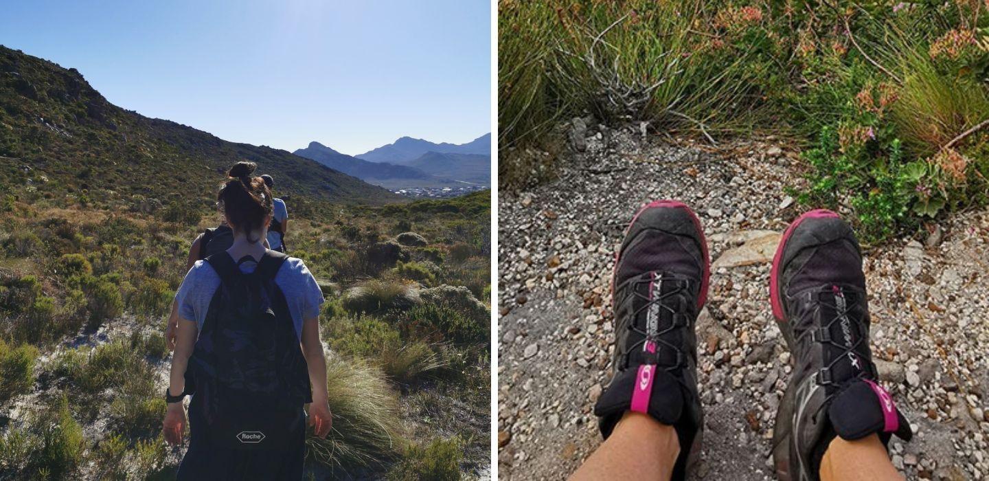
Top: Rooisand Nature Reserve. Image: LoveGreen Communications. Left: View over Clarens Drive. Image: Corlie Hugo. Right: Hiking up to Landdroskop, in the Hottentots Holland Nature Reserve. Image: LoveGreen Communications.
And then there are the region’s famous kloofing routes.
Suicide Gorge – 17 km, around 8 hours
This is not an ordinary hike. Expect swimming, scrambling and compulsory jumps into deep mountain pools, including a jump of up to 14 metres. You must be fit and experienced, and first-time hikers must be accompanied by someone who has done the route before.
Riviersonderend Gorge – 15 km, around 8.5 hours
This is the gentler of the two kloofing routes – although “gentler” is relative. Most jumps can be avoided and the highest jump is around 7 metres.
Both kloofing trails are seasonal and can be closed at short notice in unsafe weather conditions.
Whichever route you choose, hiking offers one of the best ways to experience what makes the Kogelberg Biosphere so special. Just give yourself time. Sometimes the best part of a Kogelberg trail is what you notice when you stop walking.
LATEST NEWS
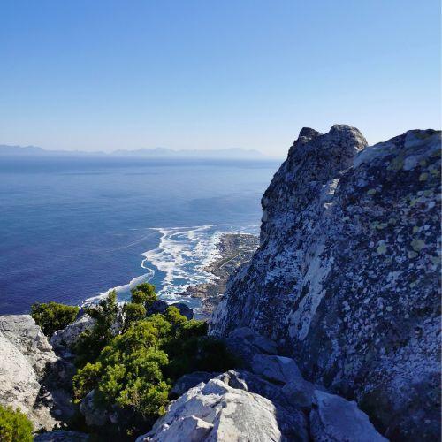
Seven mini-stories about our Kogelberg heritage
Heritage is all around us in the Kogelberg Biosphere. Sometimes it’s easy to see: the old wagon tracks captured in stone, or a path that has been walked for generations.
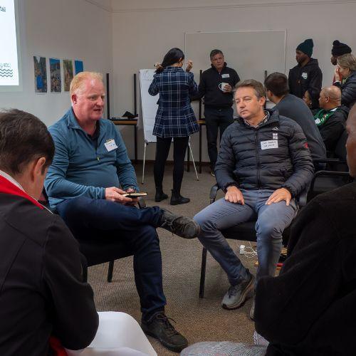
Grabouw comes together to tackle river pollution
Citizen science findings are helping build a clearer picture of waste and water quality challenges in Grabouw – and bringing the community together to find solutions.
Biosphere Living
Become a Kogelberg Biosphere member – and enjoy benefits specially designed to assist you and/or your business.
You can take the next step, to become even more involved in the Kogelberg Biosphere.
And remember to include us in your social media posts, by using the hashtag: #BiosphereLiving.